
Remote-sensing models to enhance Banana bunchy top virus (BBTV) surveillance in Africa
13 January 2023
The IITA–CGIAR team has published a method using drones and satellite imager-based remote sensing approaches for mapping banana farms to guide surveillance for the detection and mapping of the banana bunchy top virus (BBTV) spread and support data-informed decision-making on BBTV containment strategies in sub-Saharan Africa. The study, Banana Mapping in Heterogenous Smallholder Farming Systems Using High-Resolution Remote Sensing Imagery and Machine Learning Models with Implications for Banana Bunchy Top Disease Surveillance, was published in the peer-reviewed, open access Remote Sensing journal.
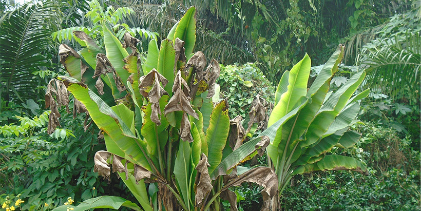
BBTV has emerged as a major threat to banana production in sub-Saharan Africa (SSA). The virus infection results in severe dwarfing (bunching) of the shoots and cessation of fruit production, denting the food and income security of smallholder farmers.
BBTV is an introduced virus in Africa, first reported in the 1960s in the Democratic Republic of Congo (DRC). The transboundary spread of the virus is unabated, as the single introduction event has spread to 15 countries in SSA, assisted by the ubiquitous banana aphid (Pentalonia nigronervosa) and vegetative propagation and distribution of virus-infected planting materials.

“Since 2010, the new spread of BBTV was confirmed in seven countries, including Benin, Nigeria, and Togo in West Africa, and Tanzania and Uganda in East Africa, and Mozambique and South Africa in Southern Africa,” said IITA Virologist and Head of Germplasm Health Unit, Lava Kumar, who is leading the ALLIANCE for controlling BBTV spread and recover banana production in the region, and co-author of the study.
Surveillance by scouting across large areas is a critical requirement for the early detection of BBTV occurrence in farms, mapping the extent of its geographic spread, and deploying control measures. However, it is laborious and requires surveyors to visit banana fields looking for infected plants. This task has been challenging and requires local individuals to guide the survey teams to the banana fields and is often marked by the unintentional omission of several banana farms from the assessment.

Remote sensing and machine learning (ML) models provide a wealth of data from a particular geographical location, including detecting and monitoring the physical characteristics of a geographical area, mapping vegetation and crop types on the local and regional scales without making physical contact.
IITA researchers have combined high-resolution imagery from unmanned aerial vehicles (UAV) and medium-resolution Synthetic Aperture Radar (SAR), Sentinel 2 imagery with Random Forest (RF), and Support Vector Machine (SVM) analytics for identifying infected banana plants and fields for targeted BBTV surveillance.
IITA-GIS Support Services Manager and lead author, Alabi Tunrayo, revealed that ML performed relatively better in classifying the land cover, achieving means overall accuracy (OA) of about 93% and a Kappa coefficient (KC) of 0.89 for the UAV data. Applying fused SAR and Sentinel 2A data, the model gave an OA of 90% and a KC of 0.86. IITA Geospatial Data Scientist and co-author, Julius Adewopo, said that the findings confirm the model’s usefulness for predicting infection in banana and other crops in SSA’s heterogeneous smallholder farming systems.
As part of verifying the accuracy of the high spatial resolution cropland maps generated by the models, the researchers have done ground truthing and detected 17 new farms with BBTV with the developed models in Ogun State, which were missed during the conventional surveys.
The study recommends the adoption of the model for other crops in heterogeneous smallholder farming systems to increase their productivity.
For more information about this work, contact: Lava Kumar (l.kumar@cgiar.org) and Tunrayo Alabi (t.alabi@cgiar.org).
Contributed by Lava Kumar and Anita Akinyomade
